Precision in Every MeasureBoundarySystemDecision
Leading consultant in spatial mapping, cadastral surveys, and real estate solutions. Registered in Kenya but open to AFRICA. We turn data into actionable insights for the built environment.
Trusted Partners & Clients


Pioneering Spatial Innovation in Africa
Established in November 2006, Africa Spatial Information Centre (ASIC) is a lead consultancy firm specializing in Geo-Information Management and Systems Engineering.
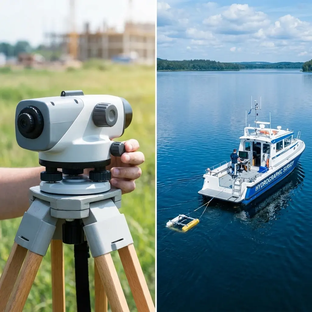
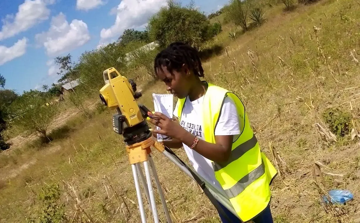
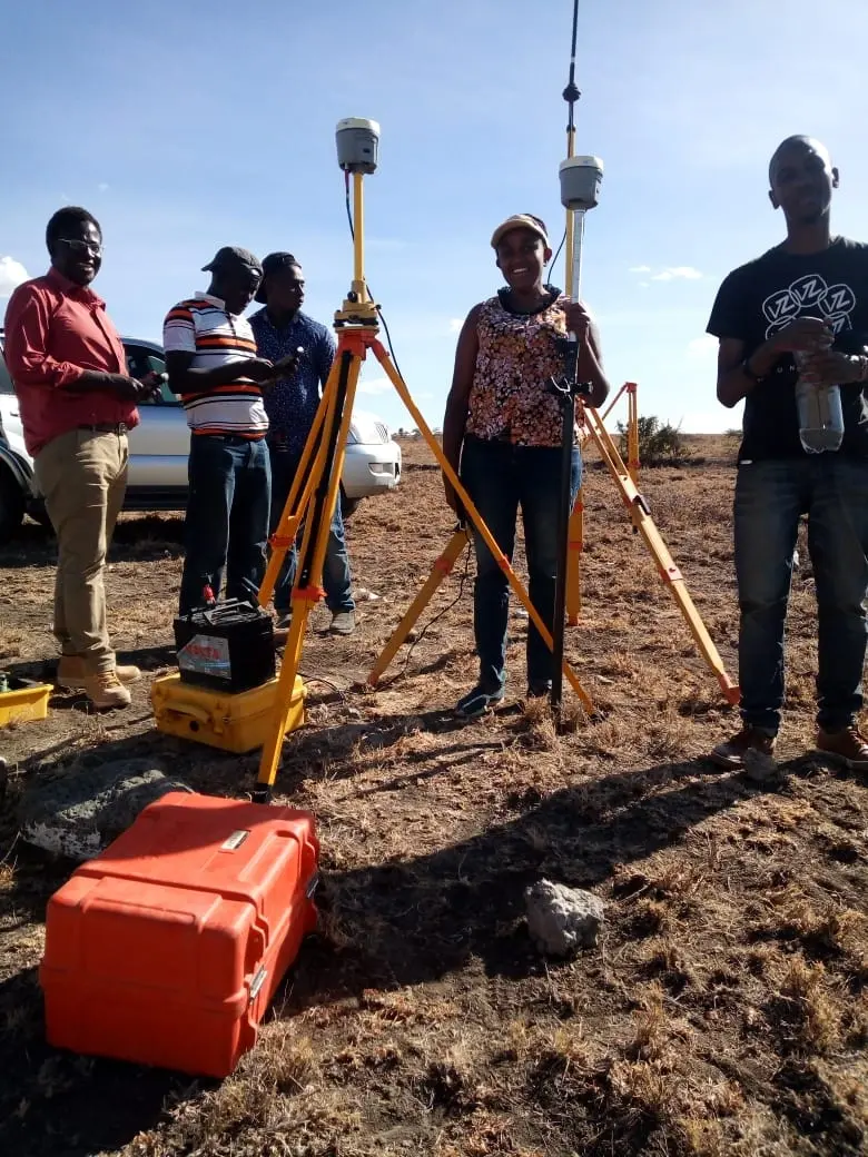
Our practice integrates Hydrographers, Social Scientists, and Licensed Surveyors to apply advanced GIS and GNSS technology (CHCNAV i80 & i50) across diverse sectors. Our expertise spans Spatial Mapping, Hydrographic Profiling (Lakes & Oceans), Conflict Resolution, and Utility Infrastructure (Power & Water), ensuring precision in the built environment.
Comprehensive Built Environment Solutions
From field data acquisition to final presentation, we offer a full range of services tailored to your needs.
Spatial & Topographical Mapping
Rural and Urban Master Planning, including Land Use Decision making toolkits for sustainable development.
Cadastral & As-Set Registry
Highly precise boundary surveys and our unique As-Set Registry—a reliable backup and alternate to the Government Land Registry.
Hydrographic Profiling
Specialized bathymetry and sonar soundings in lakes and oceans for maritime safety and fish stock surveillance.
Conflict & Dispute Resolution
Expert settlement conflict and dispute resolution using advanced GIS models and data-driven evidence.
Engineering & Utility Works
Comprehensive route surveys for power lines, sewerage systems, dams, and irrigation schemes.
Projects Completed
Happy Clients
Years Experience
Satisfaction Rate